

Know The Snow, Deliver The Water

Given the amount of rain we’ve had in the DC-Metro area this spring, it’s hard to imagine water as a scarce resource. But in the west, getting water requires a lot more planning than just turning on the tap.
Currently, the seven states along the Colorado River Basin are negotiating the operating plans for water deliveries to each state (the current agreements expire in 2026).
This is a big a deal, not just for the citizens of these states but also for one of the agricultural engines of our country. So having accurate and up-to-date data on water supplies is really important.
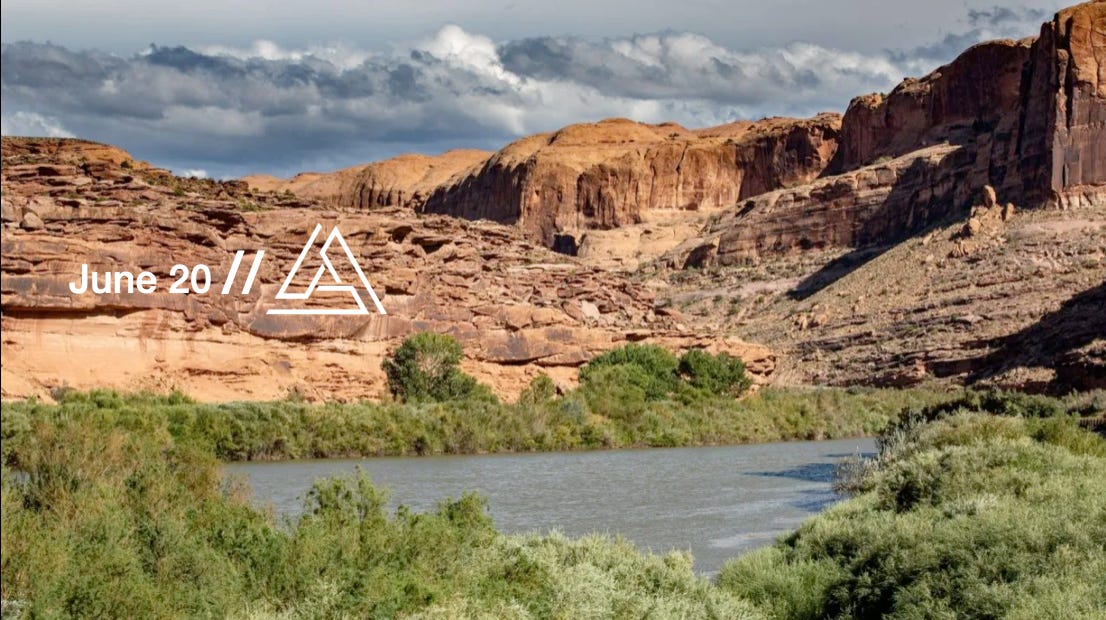
This is an obvious point but it’s worth stating: much of the west’s water supply comes from snow that melts from the mountains and matriculates to our rivers — such as the Colorado River Basin.
As the west wrestles with depleting water resources, better understanding of the snowpack is essential.
What Happening
The Snow Water Supply Forecasting Reauthorization Act — authored by Colorado representative Jeff Hurd and on the Natural Resources Committee hearing docket next week — extends a Bureau of Reclamation program aimed at improving water supply predictions in the Western United States by using advanced technologies to measure and forecast snowpack and snowmelt.
Notably, the bill ...
Shifts focus from technology demonstrations to "complete integration" of snowpack measuring and modeling
Mandates commercially available solutions that deliver real-time data feeds
Elevates physics-based modeling to equal status with remote sensing
The technical pipeline is straightforward: airborne LiDAR and satellite imaging feed cloud-based quality control systems, which push data into physics models, delivering water supply forecasts within 24 hours.
The Technology Stack
Several American companies are proving this works.
Airborne Snow Observatories has flown over 200 basin surveys, cutting snow water equivalent forecast errors by 30% when their LiDAR data hits the models
NV5 Geospatial and Quantum Spatial have been running contract flights for Reclamation since 2022
Planet's "Tanager" satellites will provide daily hyperspectral imaging starting in 2026, meeting the bill's "commercially available" requirement for operational deployment. The modeling side leverages existing capabilities in WRF-Hydro and the National Water Model, with demonstrated streamflow improvements in Colorado River basin testing
Why This Matters
Water managers in 17 western states currently operate with forecast uncertainties that can swing reservoir operations by millions of acre-feet. Better snowpack intelligence means more efficient water allocation, improved hydropower planning, and reduced flood risk.
Congress is treating satellite-based resource intelligence as operational infrastructure, not research or pilot programs. This is about the Colorado River basin, but the technology platform scales to any snow-fed watershed.
Next Steps
The upcoming June 24th hearing will likely cover state agency requirements and funding levels. The 2020 authorization capped spending at $15 million total—likely insufficient for nationwide deployment without an increase. There is no Senate companion bill yet, but Colorado's Bennet and Oregon's Wyden have supported similar snow technology legislation before. The technology exists. These solutions are proven. Exciting opportunities exist to scale American capabilities to manage American water resources. 🏔️💧🇺🇸